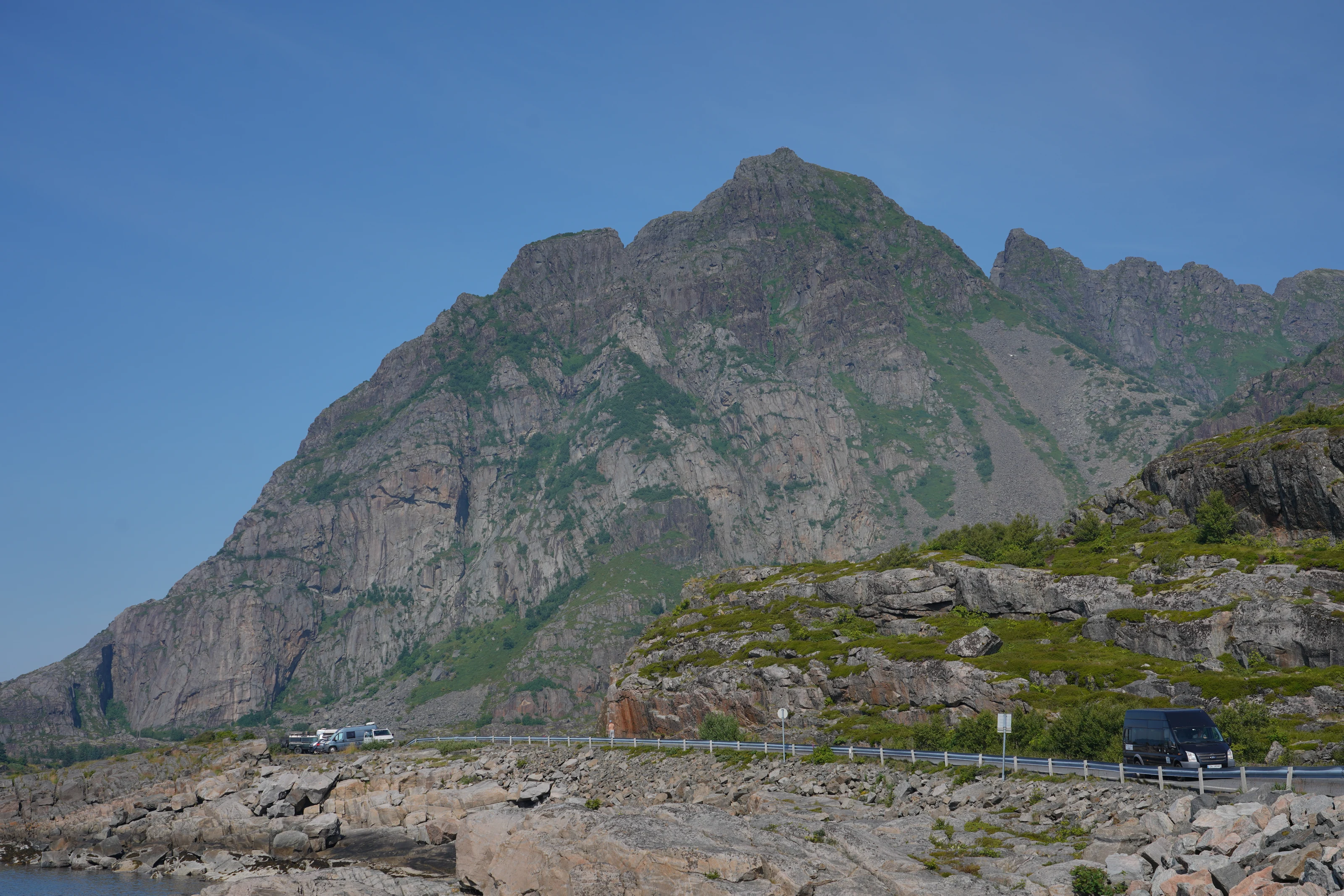
A short distance means a lot of climbing per metre
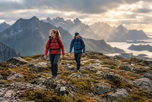
Festvågtinden gains height quickly, which is why the hike feels steep. It suits experienced, sure-footed walkers who can handle sustained climbing and an uneven descent. If you have only walked on flat trails, do not judge the difficulty by the distance alone.
Adapt the group’s pace to its least experienced member. On loose ground, a misplaced step can send stones down towards others. Assess children and dogs individually and supervise them closely; a dog’s lead can also affect your balance. Turning back at a lower viewpoint is a valid choice.
Read Visit Lofoten’s route description and the complete elevation profile before setting off. If steep ground or heights make you unsure, spend the day exploring Henningsvær and choose a gentler walk another day.
Find the trailhead without blocking the road or homes
The trailhead is beside the road towards Henningsvær, where motorists, cyclists, visitors and residents share limited space. Use an up-to-date route description and follow signs on site. Park only in designated, permitted areas, not on the shoulder, in a passing place, across a private driveway or in a pull-off needed for road safety.
If parking is full, choose another time or another hike. Dropping passengers at a blind bend while the driver looks for a space is unsafe. Plan the walk from the car park and use reflective gear or a light when visibility is poor.
Use toilets and dispose of rubbish before setting off. Henningsvær is a working community: use facilities that are open, pay for services and keep private quays, gardens and access routes clear.
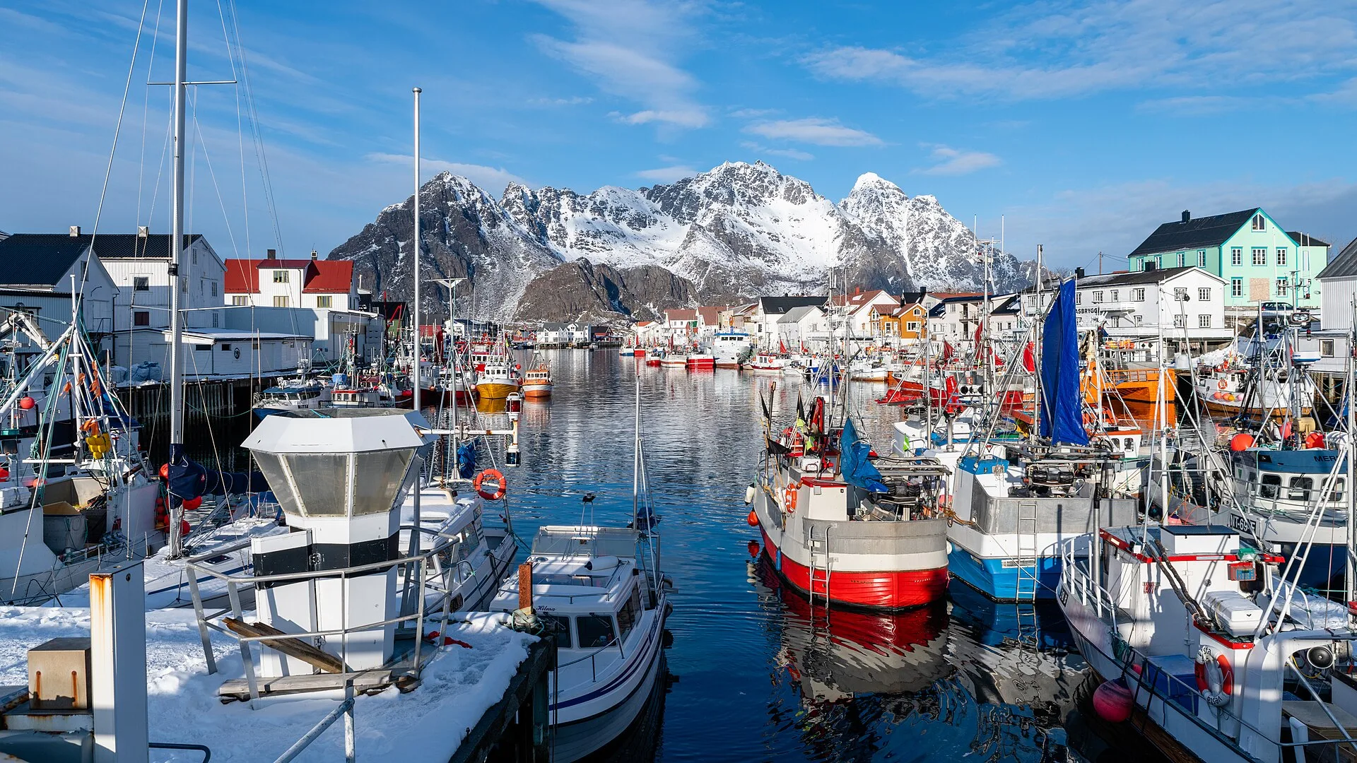
Stay on the established path and avoid causing more erosion
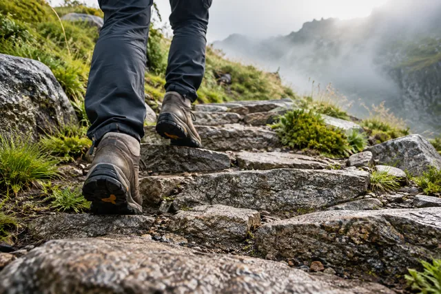
Follow the established route even if the ground alongside looks drier. When people detour around mud or queues, vegetation disappears and water cuts new channels. The trail becomes wider, looser and less safe. Wait at a wide section to let others pass.
Keep your distance from the walker ahead, especially on loose stones. Do not stand directly below someone climbing a steep section, and warn others clearly if you dislodge a stone. Stop for breaks where people can pass without having to step onto unsafe ground.
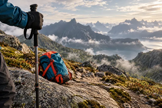
Near the summit, enjoy the view and take photographs well away from edges and other groups. Gusts can upset your balance and blow loose equipment away. Put your pack somewhere stable and never step backwards for a photograph.
Wet ground and wind make the descent harder
Check the MET weather forecast for Henningsvær, remembering that the summit is more exposed than sea level. Rain makes earth, roots and rock slippery; strong wind can make summit edges unsafe. Fog limits both the view and your ability to navigate.
Snow or ice turns this into a different hike from the summer route. Consult Varsom and apply the relevant winter skills. Do not attempt the route if you cannot assess the terrain or choose suitable equipment. Other people’s tracks are not proof that it is safe.
Turn back at the first signs that the descent is becoming harder: increasing rain or wind, reduced visibility or falling energy levels. Do not wait until the summit to find out whether the forecast was right. Descending on loose ground requires control.
Allow more time than the estimate
Visit Lofoten estimates around 60–90 minutes each way for a typical hike, but parking, queues, breaks and ground conditions can change that. Allow extra time and set a firm time to turn back. Do not book a restaurant so soon afterwards that you feel forced to rush downhill or ignore worsening weather.
Bring grippy footwear, windproof and waterproof layers, a warm layer, water, energy-rich food, first-aid supplies and a charged phone. Carry an offline map and a headtorch when daylight may run short. Secure loose photography equipment in your pack between stops.
Descend slowly, keeping your knees slightly bent and leaving space between walkers. Let faster groups pass at wide sections. Pain or unsteadiness on the ascent is a warning that the descent may be harder.
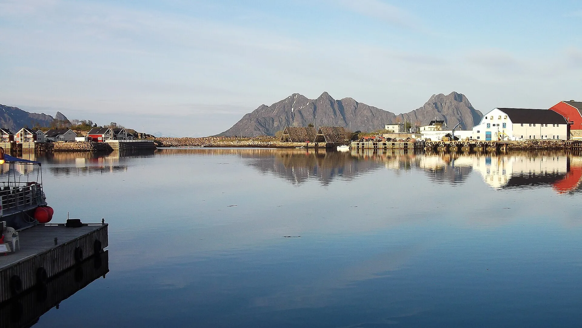
Henningsvær is a worthwhile alternative in its own right
When mountain weather is poor, Henningsvær offers art, galleries, food, harbour life and coastal history. Confirm that day’s opening hours directly, especially outside summer. Keep to public areas and respect private or working quays and buildings.
A short low-level walk may be an option if local wind and ground conditions allow, but it is not an automatic fallback. Coastal rocks and quay edges can be slippery, and waves may make the waterfront dangerous. Assess the weather with the same care as you would for the summit.
If you have several days, save Festvågtinden for better conditions. Enjoying Henningsvær properly today and hiking safely later is better than rushing both in stressful, risky conditions.