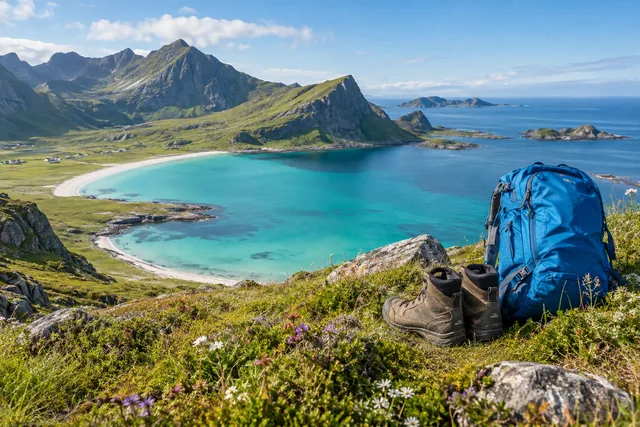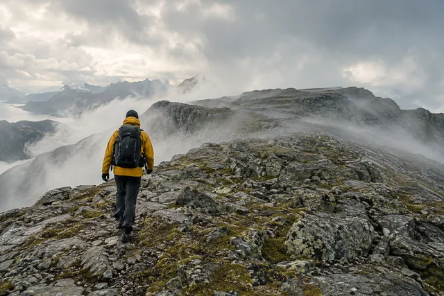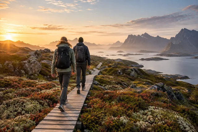
Look beyond distance and elevation gain
Check the terrain, steepest sections, exposure, any scrambling, route-finding and the descent. A short, steep walk can be harder than a long, gentle one. An exposed ridge may be unsuitable even for someone who is very fit.
Read a current route description and map. Judge the walk against the least experienced member of your group, not the strongest. Can everyone descend the same way when tired? Children, dogs, a child carrier or heavy camera bag all change the assessment.
Popularity is not a security classification. Many people on the path can also create waiting, rockfalls, poorer flow and full parking.
The calendar does not say whether the path is summery
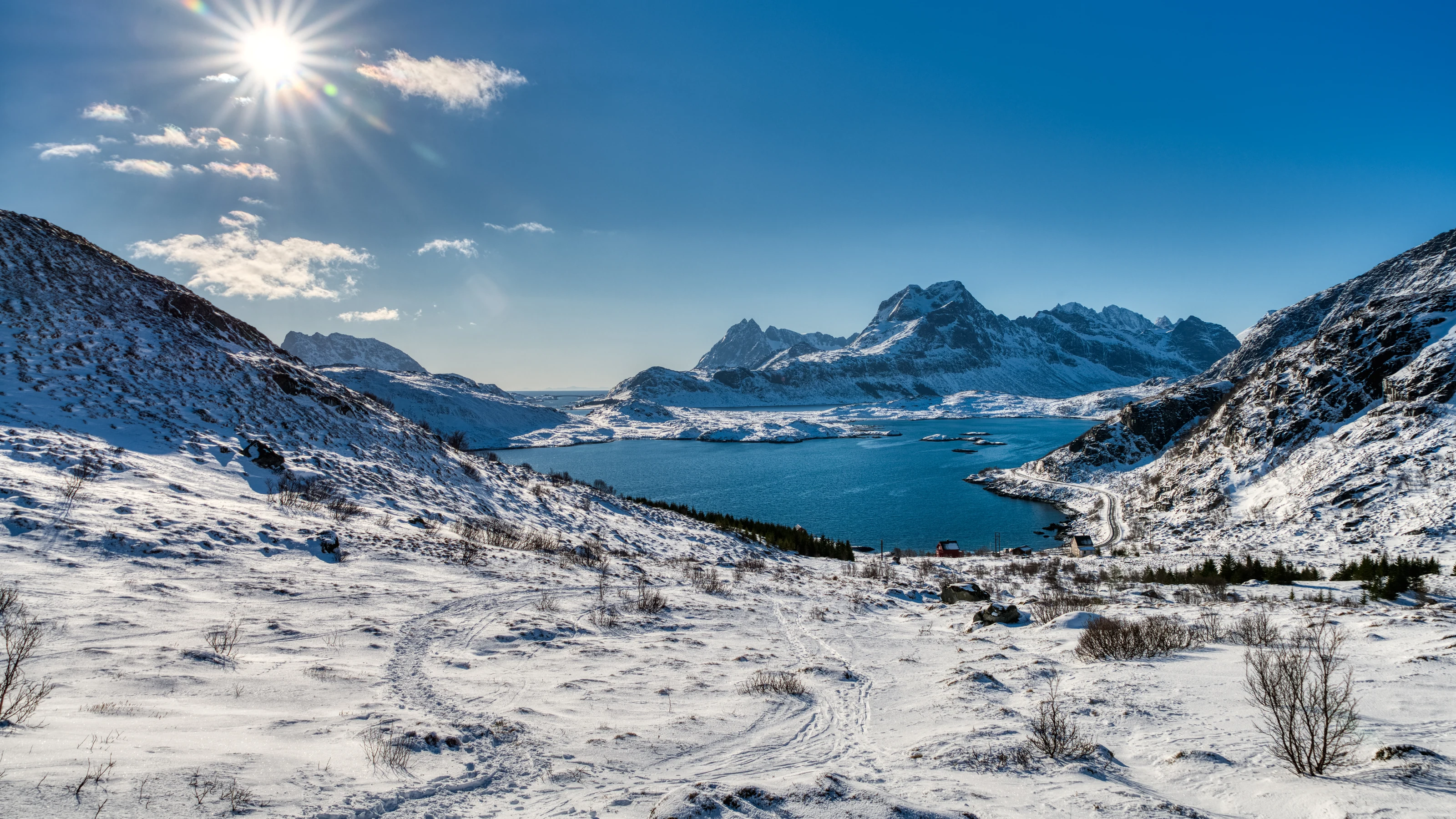
Snow can remain at altitude long after the lowlands turn green, and early snowfall can arrive before winter seems established. Spring may bring unstable thawing snow, ice and swollen streams. Autumn means wet roots, slippery rocks and shorter days. Winter demands different skills for avalanche terrain, ice and navigation.
Use MET and Varsom alongside local observations. A general weather icon for the municipality may not reflect wind or fog on the ridge. If you cannot assess winter conditions and avalanche terrain, choose low-level routes or a guide.
Plan your trip early enough so that you have light and energy for the return trip. Take a headlamp as a backup without using it as a reason to start late.
Choose between lowlands, scenic tours and exposed mountains
Lowlands and coast
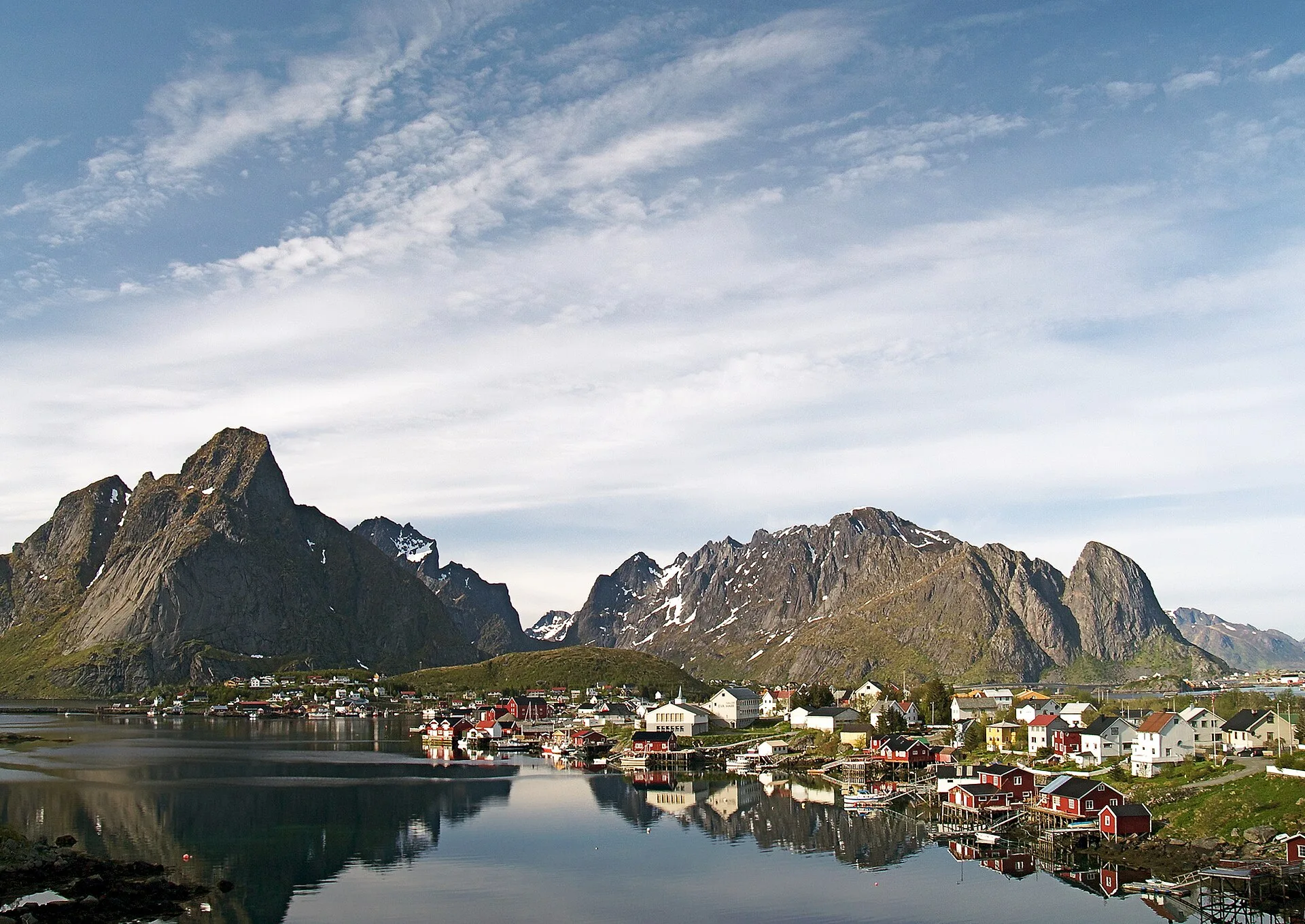
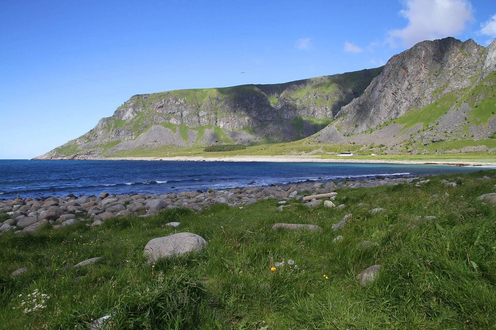
Site tours, coastal paths and short viewpoints can provide a great experience with lower consequences. They are good plan B options, but can still be wet and windy.
Steep scenic walks
The Reinebringen and other well-known targets have a clear height gain and a lot of traffic. Stairs or paved path do not remove weather, tired return or the need for consideration.
Exposed mountain terrain and scrambling
Svolværgeita and exposed ridges are not ordinary walks. Climbing requires appropriate skills, equipment and preferably a qualified guide.
Choose the experience, not the famous name. A safe low-level walk with clear views can make a better Lofoten day than a celebrated summit lost in fog.
Check the weather, route, parking and return before departure
- Updated tour description and downloaded map.
- Hourly weather for the whole outing, not just the start.
- Ground conditions, snow and relevant natural hazards.
- Legal parking or confirmed transport back.
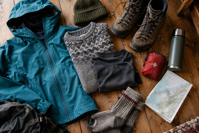
- Clothes, food, water, light and first aid.
- A firm turnaround time, however close the summit seems.
Tell someone what route you are taking and when you expect to be back on longer or more remote trips. Mobile coverage is not a security plan. Save the emergency number, but use your own margin to avoid rescue being necessary.
Make small decisions throughout
Keep assessing wind, visibility, pace and everyone's condition. Eat and add layers before you become cold or exhausted. Stay together and let anyone who feels uncomfortable call a halt without argument.
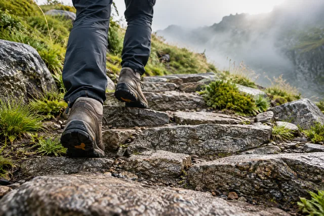
Walk in existing tracks where it is safe to do so. Walking around mud widens the path and damages the vegetation. Do not make shortcuts or build cairns. When queuing on steep terrain, you should make room in a stable place without pushing others towards the edge.
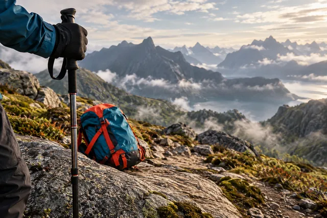
Concentration often drops on the descent. Slow down, use trekking poles if you know how, and keep spare warmth, food and a light source available.
Turn early enough that it still feels easy
Turn back if wind increases, visibility drops, you are in pain, the route is uncertain, sections look too slippery to descend, or you are behind schedule. The summit is optional; getting back is essential. A good walk does not need to reach its original goal.
Have a named option: a coastal path, a museum, a fishing village or a guided activity that suits the conditions. Then the choice of tour is not experienced as all or nothing.
In the event of an accident, you must secure the site as best you can and notify the emergency services. Do not expose yourself or others to further danger in an improvised rescue attempt.