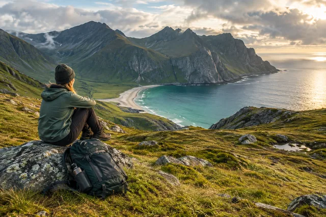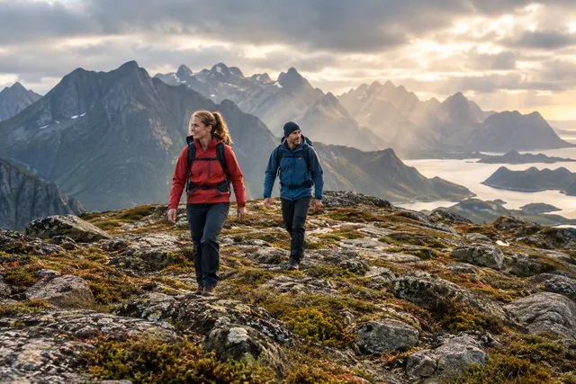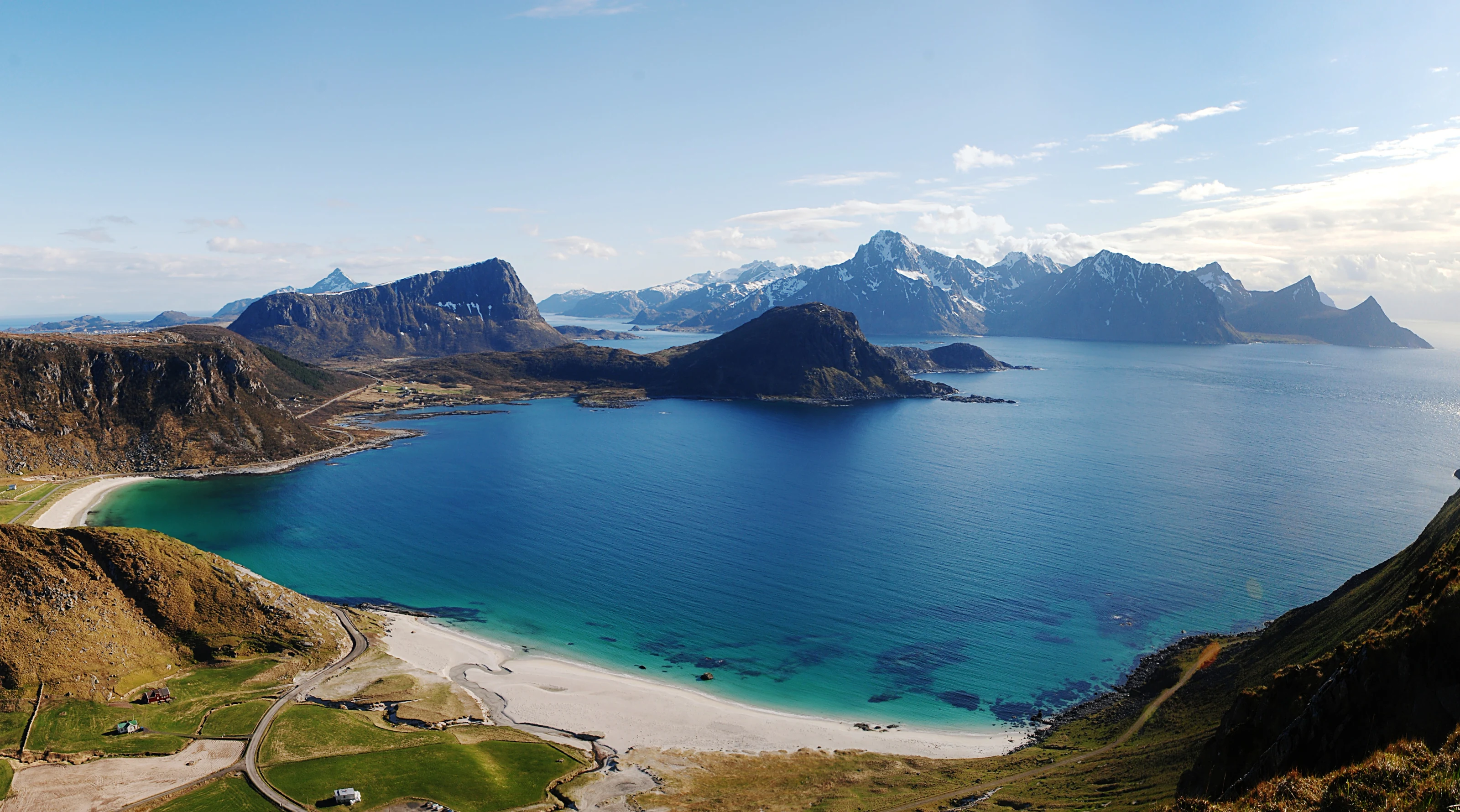
Mannen starts at the beach, but it is not a seaside stroll
Starting at popular Haukland can make the hike seem more casual than it is. There is a clear climb, and the exposed upper section can challenge balance and anyone uncomfortable with heights. It suits walkers who can manage uneven paths and turn back without letting the view overrule their judgement.
The estimated duration assumes steady progress and reasonable conditions. Assess children, dogs and inexperienced hikers individually. A lead can pull an adult off balance; a narrow ridge is not the place to test whether a dog follows commands.
Prepare with maps and photographs of the terrain, then assess the ground in person at the start. If the summit is unsuitable, Haukland, the visitor centre and a coastal walk in safe conditions can still make a good day.
Haukland has regulated capacity and local facilities
Vestvågøy municipality publishes information about Hauklandstranda visitor centre, parking and facilities. Check the current page and follow signs on site. Time limits, fees, accessible parking spaces and other rules can change, so we do not quote a price that may become outdated.
Park only in designated spaces. Shoulders, passing places, private property and emergency access areas are not alternatives when the car park is full. Be prepared to change your day’s plan during busy periods.
Use the toilets and dispose of rubbish before the hike. Consider supporting a local service and respect staff, residents, farming and other visitors. Responsible hiking starts by keeping the community below the mountain functioning.
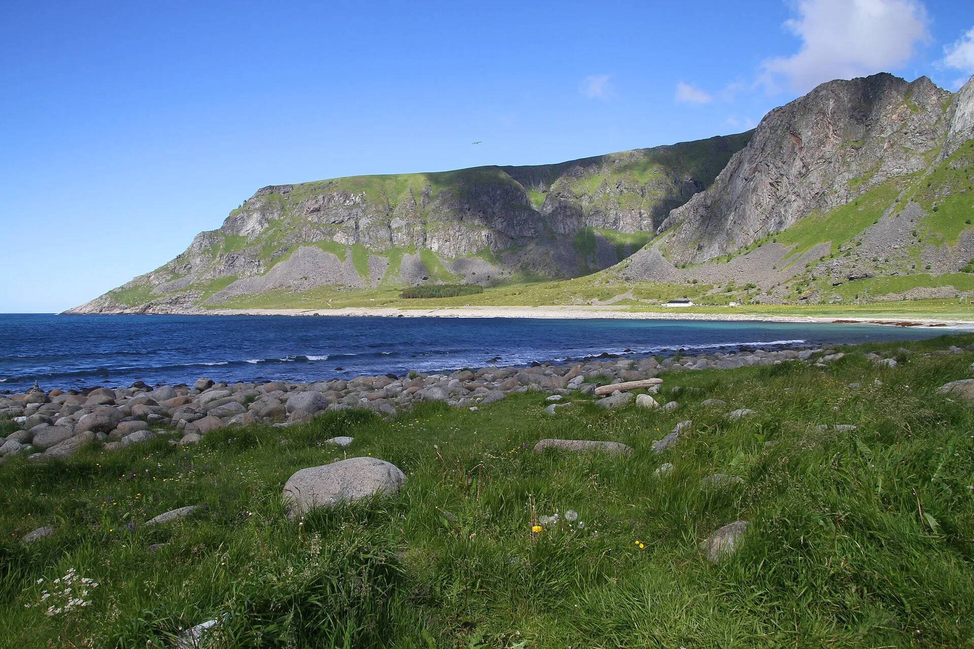
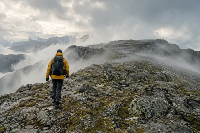
Exposed ground calls for space, calm and a willingness to turn back
Where the ridge narrows, keep well back from edges and pass others at wide sections. Do not rush past or step into vegetation for a photograph. Uneven gusts across the ridge can affect your balance and catch hats, cameras and packs.
If your fear of heights increases, turn back before you stiffen up or panic. Do not let a companion pressure you to continue. Turning around calmly is safer than reaching a spot where you no longer dare to turn.
Take photographs from a stable stance while paying attention to the ground. Do not step backwards, jump or sit near the edge. If there is a queue, give each group room rather than creating a new photo spot off the trail.
Assess ridge winds and wet ground separately
Check MET’s hourly forecast and weather warnings before setting off. A moderate breeze at the beach can be stronger on the open ridge. Rain makes earth, grass, roots and rock slippery; fog reduces visibility and makes navigation harder.
If snow or ice is present, consult Varsom and reassess whether the summer route description applies. Without winter-terrain skills, choose the beach or another managed visitor activity, subject to its own conditions. Do not blindly follow tracks: others may have different equipment or may have made a poor decision.
Reassess before entering the exposed section. If the weather has deteriorated, turn back there. The same ground can feel harder on the descent because you are looking down and are more tired.
The beach section also requires respect for the cold, waves and traffic
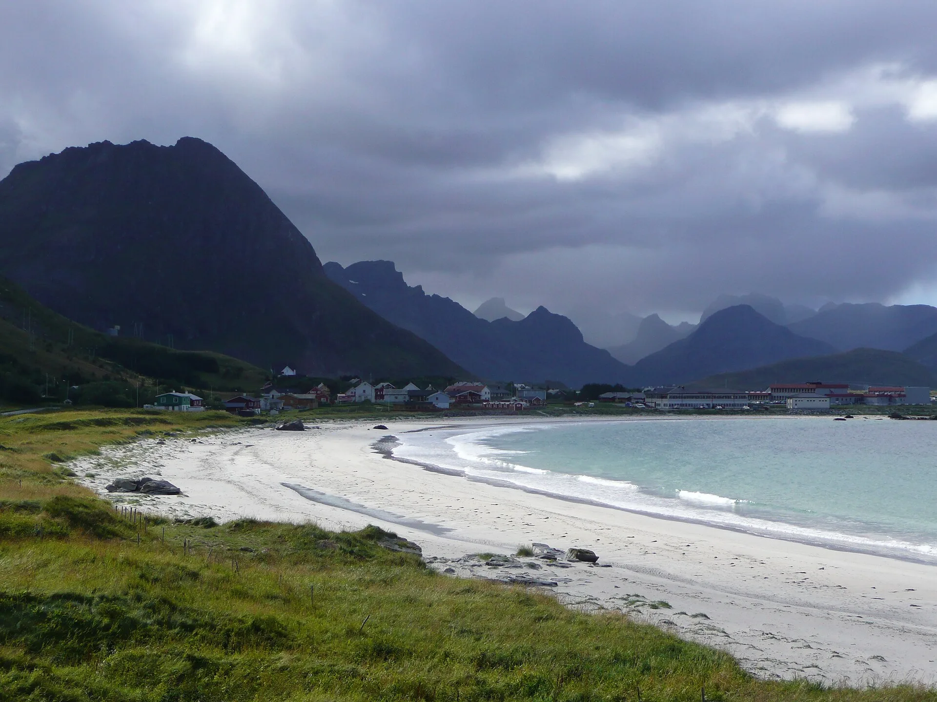
Haukland is easy to reach, but the water is cold and sea conditions can change. Keep children close, watch the waves for a while and avoid slippery coastal rocks for photographs. Decide whether to swim based on conditions, experience and the ability to get help, not on one calm minute at the beach.
Uttakleiv can be included in the same area plan, but road connections, parking and capacity must be checked separately. Don't assume you can move your car for free or park anywhere because the beaches are close on the map.
Carry out all rubbish and use the provided facilities. Keep your distance from birds and grazing animals and avoid damaging vegetation. Completing the hike gives no special right to camp or park afterwards.
Set aside time for a quiet return and a weather-resistant plan B
Bring grippy footwear, warm layers, wind and rain protection, food, water, first-aid supplies, a phone, an offline map and a headtorch if daylight is limited. Allow time beyond the estimate. Do not schedule a restaurant or flight so closely that you have to rush the descent.
Plan B could be the visitor centre, Hauklandstranda from a safe area, a drive with short legal stops or culture and food on Vestvågøy. Check opening before departure. If the wind is strong, not all coastal stops are good options either.
If you have several days, choose the best weather window. Combine summit and beach only when the day remains relaxed, not merely because both are on your list. One main experience plus a flexible extra hour makes a better day.