The lower summit is the goal – higher is not automatically better
Visit Lofoten’s route description leads to the recommended lower summit at about 931 metres. Do not treat a continuation towards the northern summit, installations or other paths as an optional bonus. Access rules, safety and terrain can differ, and a GPS track does not grant permission.
Agree on the destination before setting off and make it clear that the recommended point is where the group turns back. That avoids a debate when everyone is tired and the higher summit looks close. A map label or a higher elevation is not a reason to leave the documented route.
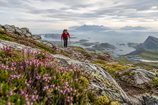
Himmeltinden suits experienced hikers with the stamina for a long ascent and an equally long return. First-time travelers who do not know their capacity on steep terrain should choose a shorter trip and build experience.
Start at Haukland with confirmed route and legal parking
Vestvågøy municipality publishes current information about Hauklandstranda visitor centre, parking and facilities. Follow it and physical signage. Parking may be regulated by time, fee and special spaces; don't use an old blog post as a price or capacity promise.
Use designated parking only. Keep accessible spaces for eligible users and leave shoulders, passing places and access routes clear. A full car park means changing the plan. An illegal or rushed start does not make a long hike safer.
Identify the documented route before setting off. Have the map available offline and make sure the trailhead matches the description. Tell someone your plan and expected return time when taking a long hike in changing conditions.
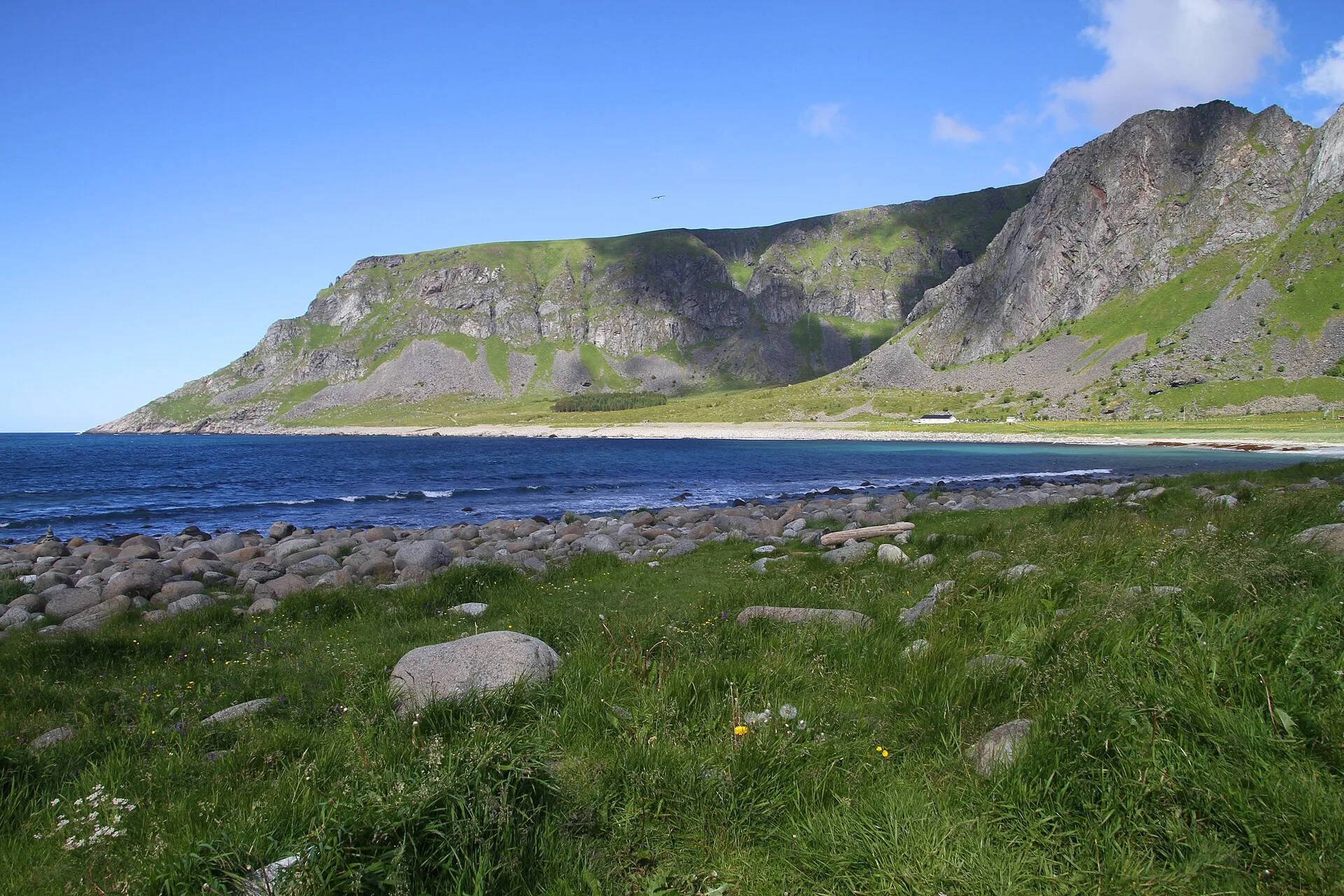
Almost a thousand meters in altitude gives a different weather than on the beach
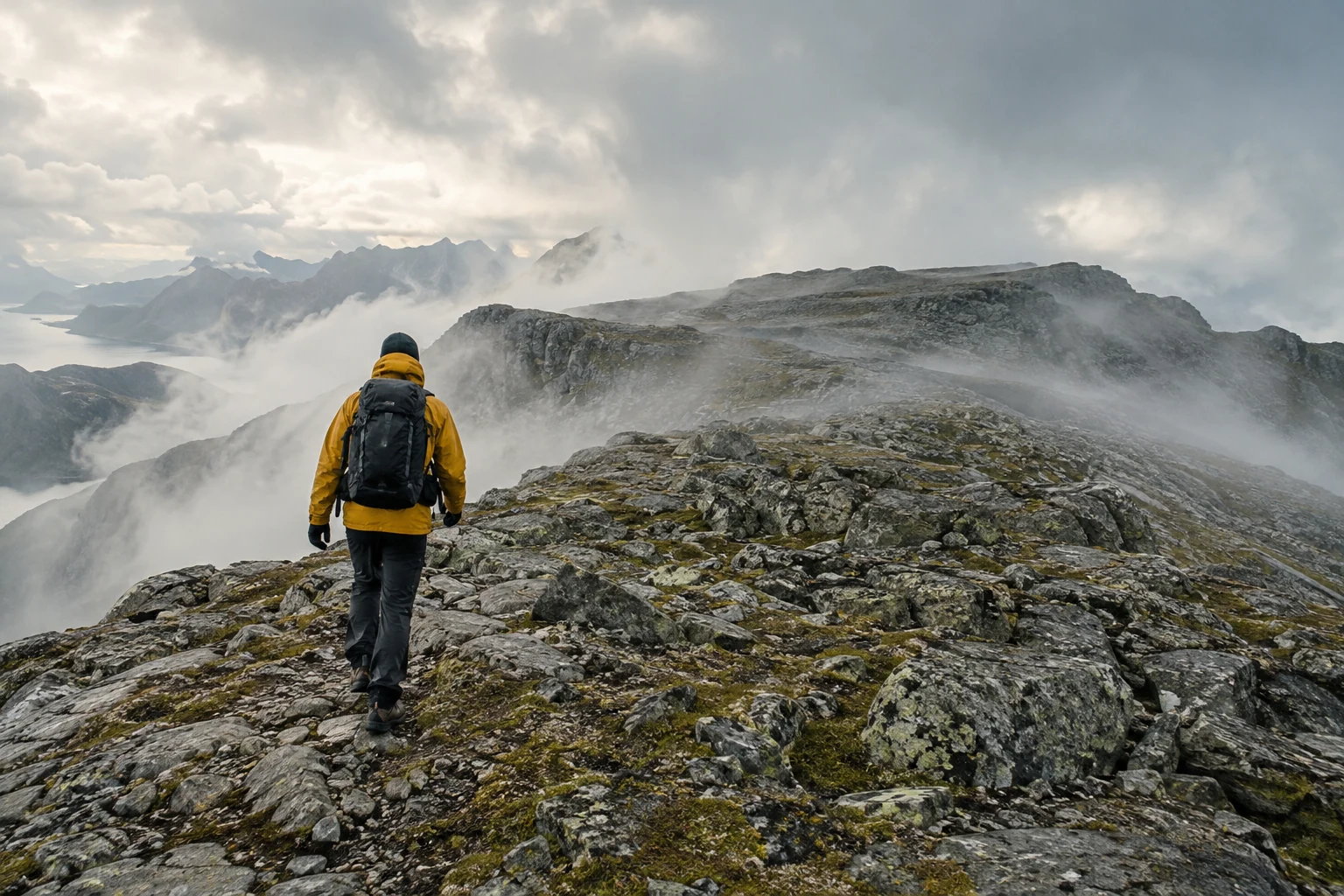
Check MET’s hourly forecast, wind and warnings for both your start and the hours you expect to spend high on the mountain. Temperature, wind and visibility can be much worse than at Haukland. Cloud can make navigation difficult and hide the view entirely.
For snow or ice, consult Varsom and use the necessary winter skills. Transitional seasons are particularly deceptive: the beach can look summery while higher ground has snow, hard crust or avalanche terrain. If you cannot assess these hazards, choose a lower route.
Agree on conditions that require turning back: sustained strong wind, fog obscuring the route, slippery ground or group members getting cold. Turn around before anyone becomes thoroughly chilled. A long descent can magnify a small problem that begins near the summit.
Start at a steady pace and set your turn-back time before you are tired
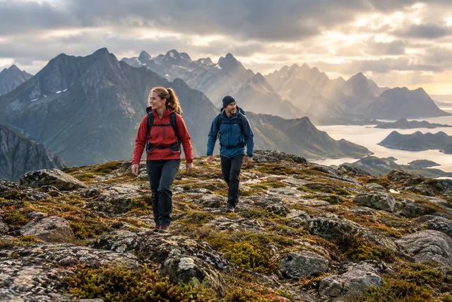
Three hours up is an estimate, not a deadline. If the group takes longer, do not increase the risk to catch up with the schedule. Keep a pace that allows everyone to eat, drink and stay warm. Short, regular breaks are often better than one long stop in the wind.
Set the time to turn back according to daylight, the weather window and the time needed to return. Allow extra time for navigation, breaks and ground conditions. Keep that limit even when the destination is in sight. Reaching the summit after it means you have already used your safety margin.
Watch for knee or ankle problems, low energy and loss of concentration. Using all your strength on the climb means planning only half the hike. Share food and warm clothing before the situation becomes critical.
Pack for a long mountain day, even though you start by the sea
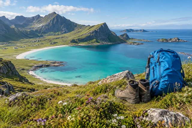
Wear sturdy shoes with a good grip and clothing that can be adjusted in layers. Take wind and rain protection, warm extra clothing, enough food and drink, first aid, headlamp, fully charged phone, battery and offline map. Sun, wind and precipitation can occur on the same day.
Walking poles may ease a long descent, but they do not replace balance or sure footing. Secure cameras and loose items. Assess any drone flight separately for legality and safety: mountain wind, people, visibility and restrictions make improvisation unsafe.
Follow established paths, close gates and keep your distance from grazing animals. Do not enter areas with restricted access signs or around installations. Take all waste back and use the facilities at Haukland.
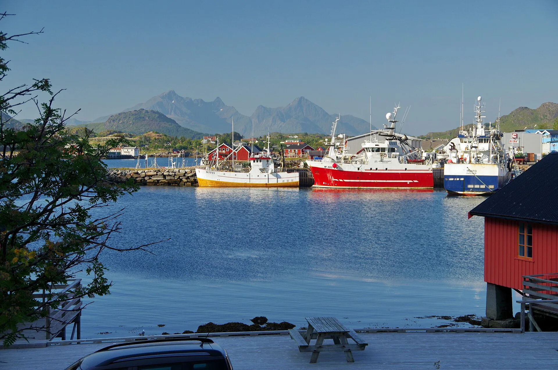
A shorter day around Haukland is the best backup
If clouds, wind or lack of time rule out Himmeltinden, Haukland offers a beach, visitor centre and coastal experiences when conditions are safe. Mannen is not an automatic fallback: its exposed ridge may have the same wind and ground hazards. Assess each route separately.
Vestvågøy also offers culture, museums, local food and fishing villages for a different kind of day. Check opening hours and distances before driving. Enjoy one place properly rather than filling the day with many short stops.
If you stay several nights, plan Himmeltinden early enough to move it to a better day if needed. Do not go in poor conditions just because the holiday is ending. A long hike needs the best weather window, not the last available one.