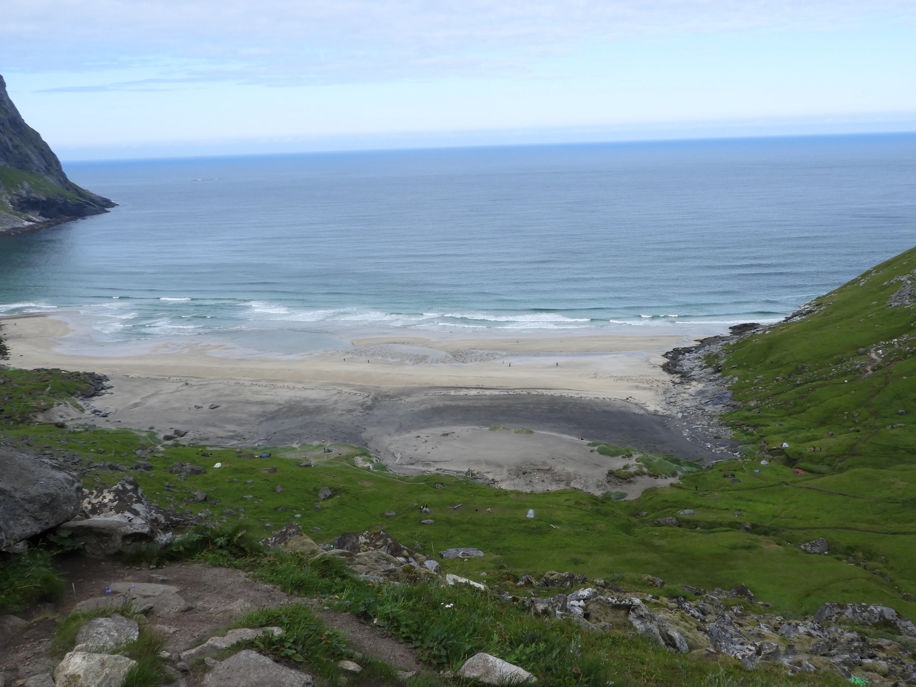
Ryten, Kvalvika and the combination are three different decisions
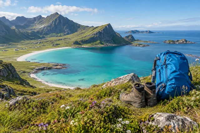
Ryten is the summit overlooking Kvalvika. The beach hike descends into a roadless coastal landscape, so you must climb back out on the return. Combining the two links summit and beach but is considerably longer than photographs suggest. Choose according to experience, weather, daylight and the least capable member of your group.
For many visitors, Ryten alone is the simpler first plan. For the beach without the summit, follow a documented route to Kvalvika. Combine them only when everyone has the fitness, equipment and time to spare. Do not invent shortcuts between trails because a line looks short on the map.
Visit Lofoten’s route description is a starting point. Flakstad municipality’s plan explains why parking, trail erosion and local traffic also matter. Download maps for offline use, but check for changes locally.
Plan your parking without creating a road hazard
The area has narrow roads, passing places, homes, farms and heavy summer traffic. Park only in the designated spaces for your chosen route. Shoulders, passing places, private driveways and cultivated land are not overflow parking. If the car park is full, choose another time or hike.
Flakstad municipality’s plan describes visitor pressure, managed trails and the need for organised parking. Signs on site and instructions from local attendants take priority over an old map pin. Include the walk from the car park in your timing and check toilet facilities before starting.
Car sharing reduces pressure only if the vehicle is still parked legally. Do not drop passengers where drivers have poor visibility. Make yourself visible when the route to the trail requires walking along the road, especially in darkness or fog.
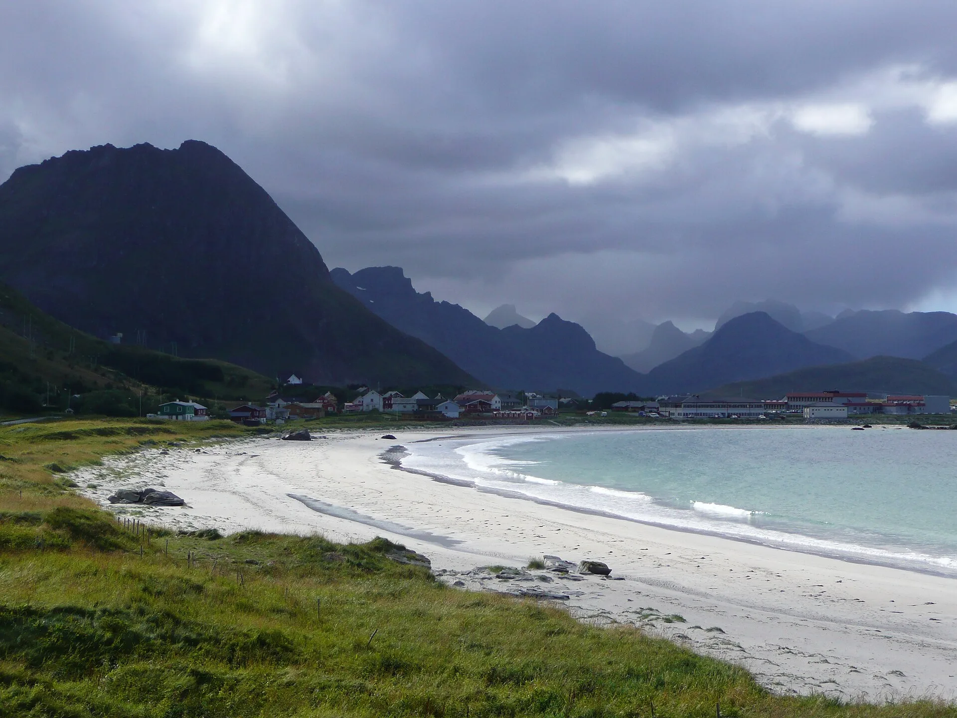
Wind, visibility and wet ground affect the summit and beach differently
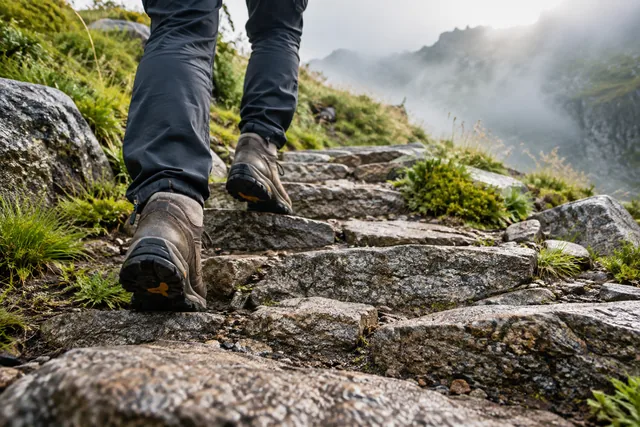
Ryten has high, exposed sections where wind and fog can make navigation and time near the edge unsafe. Kvalvika is lower, but the beach, coastal rocks, bogs and steep connecting paths can become slippery. Heavy rain soaks the trails and increases erosion when walkers detour around wet sections.
Check MET’s hourly forecast and weather warnings. Consult Varsom when snow, avalanche terrain or other natural hazards are relevant. Observe the sea at Kvalvika from a safe distance: waves and swell can reach farther up the beach than a quiet moment suggests. Swimming is not an automatic part of the beach hike.
Clouds can obscure the view without the trip being unsafe, but poor visibility impairs navigation. If the goal is just the image, wait for a better day rather than pushing the group through worse conditions.
Stay on the established trail and well back from edges
Use established trails and boardwalks where provided. Bogs and wet vegetation are damaged when new tracks form beside the original path. Pass others at wider sections without stepping far off the trail, and leave gates as you found them.
Ryten’s famous photo angle can draw queues close to the edge. Assess the ground yourself rather than copying someone’s pose. Supervise children and dogs, put your pack somewhere secure and skip the photograph if wind, crowding or dizziness make it unsafe. No social post is worth a fall.
At Kvalvika, you must keep your distance from bird life, grazing animals and private installations. Bring all waste back. The absence of a toilet means that the visit must be planned, not that nature becomes a toilet near the path or water.
Plan for the whole return, not just the first viewpoint
Time varies with the trailhead, route, crowds, breaks and ground conditions, so there is no single duration for every option. Read your chosen route description, include access from the car park and allow generous extra time. Combining summit and beach takes substantially longer than visiting either alone.
Grippy shoes, wind and rain protection, warm layers, food, water, first-aid supplies and an offline map are the essentials. Bring a headtorch if daylight or delays could become an issue. A warm summer day at the car can still be cold on the summit and wet by the beach.
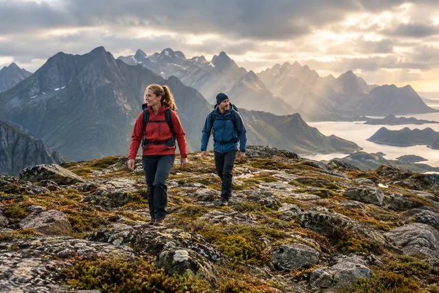
Set a turn-back time before starting. If the group takes longer than planned to reach the first goal, leave out the second. Completing one good hike is better than making a combined route unsafe on the return.
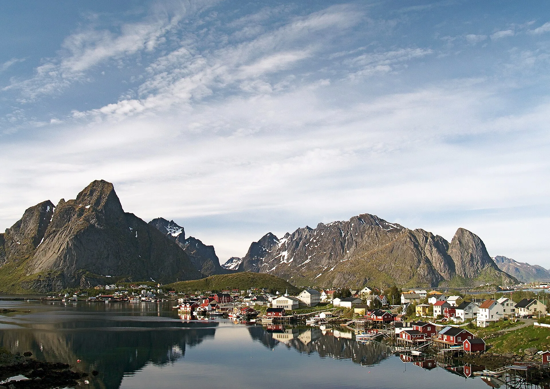
Use Flakstad as plan B instead of chasing another peak
If Ryten is off the agenda, Flakstad can still offer a good day. Depending on weather and opening hours, choose a beach with visitor facilities, a local restaurant, a gallery or a short village walk. Explore Skagsanden, Ramberg and fishing villages from permitted public areas, while respecting the wind and sea there too.
Do not simply switch to the next trail if the same wind, rain or poor visibility affects the whole area. A low-level walk may be better, but assess it separately. Use the rainy-day guide to combine culture, food and short outings in suitable weather windows.
If the car park is full in high season, plan B is to turn around, not create a dangerous traffic situation. Start earlier only when light, sleep and safety are still good; avoid promising "secret" traffic-free times.