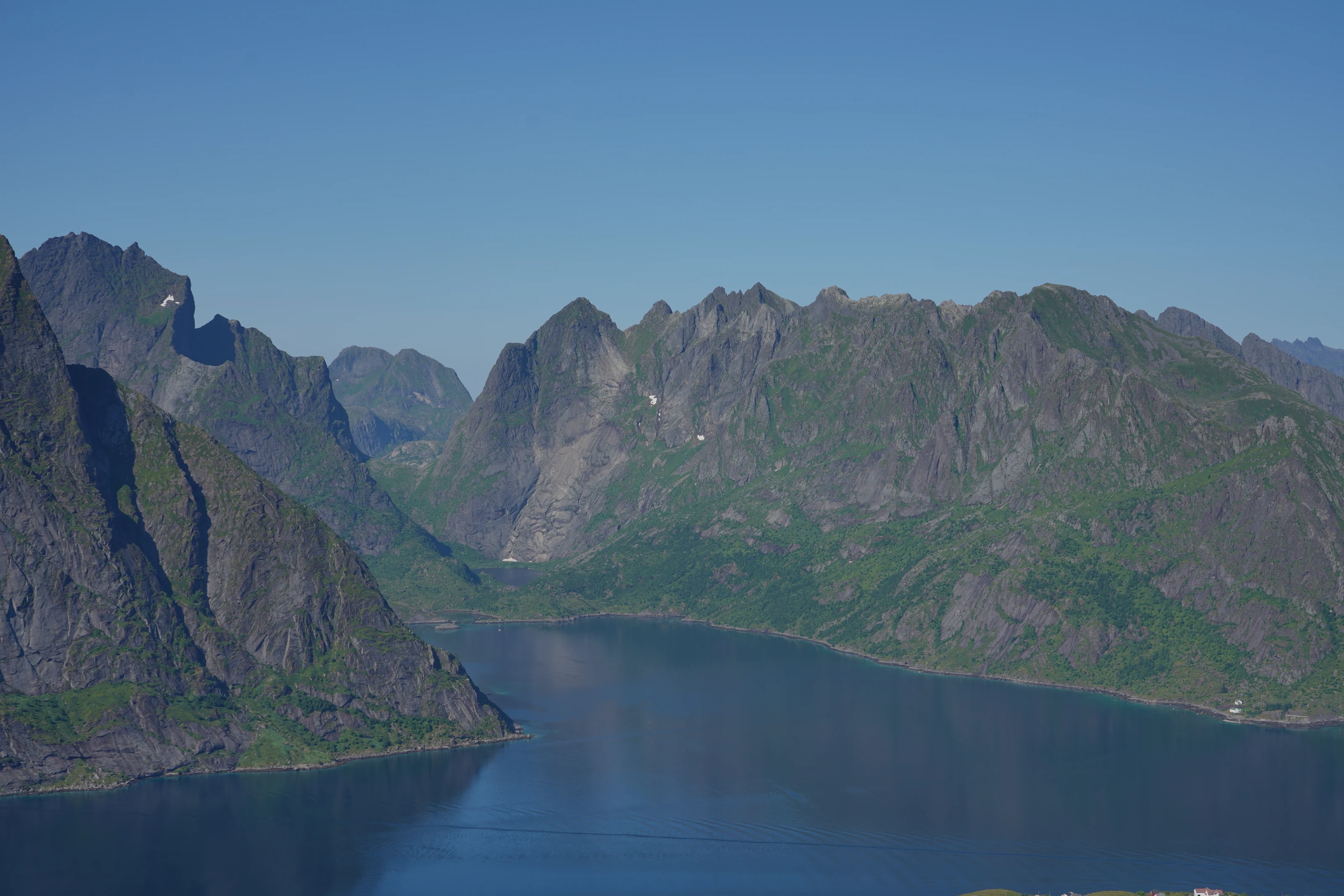
A short route does not make Reinebringen suitable for everyone
The famous view draws many visitors who would not otherwise plan a mountain hike. That makes it especially important to distinguish a short distance from an easy walk. The climb is steep from early on, your pulse rises, and the descent tests knees and balance. Stone steps are an aid, not a handrail or a guarantee against falls.
The tour is best suited for people who are comfortable with sustained steep climbs, can keep their balance on uneven terrain and have clothing for wind and rain. Small children, dogs, fear of heights or reduced mobility require an honest individual assessment. Don't let the queue in front of you become evidence that conditions are safe.
If the goal is primarily views and photos, Reine, Hamnøy, Sakrisøy and the road between the fishing villages can provide strong landscape experiences without exposed top terrain. It is a full-fledged plan, not a defeat.
Check the status and conditions in the correct order
Start with Moskenes municipality. Seasonal opening, maintenance, safety measures or temporary closures can change faster than a general hiking article. Always find the latest published notice. The source link is a starting point, not a promise that the trail’s status is unchanged.
Then check MET for wind, rain, temperature and weather warnings. Consult Varsom when snow, ice, avalanche terrain or other natural hazards may be relevant. A clear forecast for central Reine does not mean that rocks, steps and higher ground are dry. Observations from that morning matter more than a screenshot from yesterday.
Cancel in case of ice, heavy rain, poor visibility or wind that affects the balance. If you are in doubt before the start, the doubt rarely diminishes higher up.
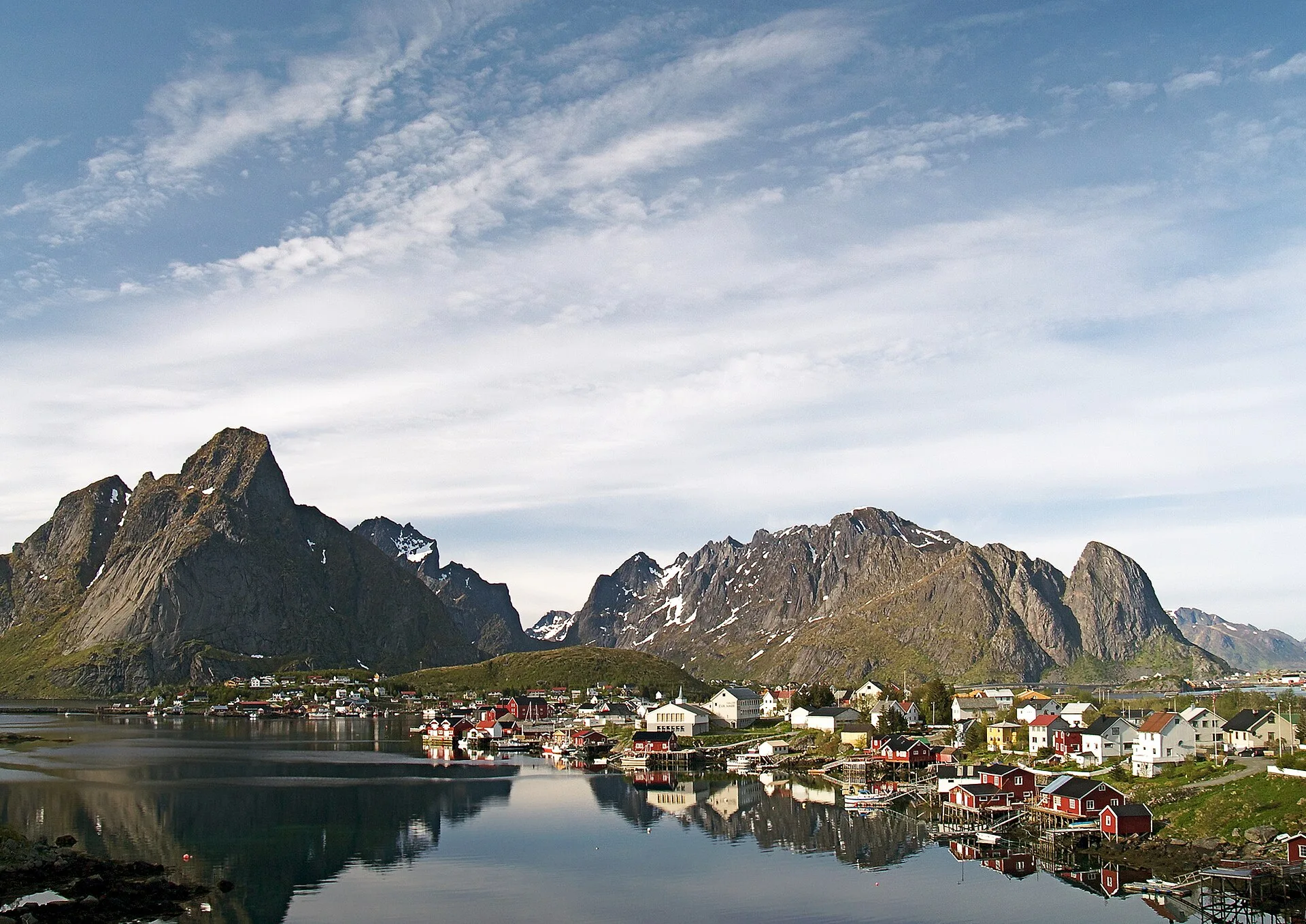
Start with legal parking and consideration for Reine’s residents
Reine has homes, workplaces, through traffic and a very large number of visitors. Moskenes municipality has a parking zone where parking is prohibited outside marked or specifically permitted spaces. An outdated trailhead in an app is not a reason to park on a shoulder, in a driveway or bus bay, or on private land.
Check the municipality’s parking page on the day and follow the signs on site. Allow extra walking time from a legal space and include it in your hiking plan, especially for a late start. Fees, rules and capacity can change, so we do not give a fixed price or promise that a space will be available.
Walk considerately through the trailhead area, keep pavements and driveways clear and use the provided toilets. A good mountain visit also respects those living and working below.
Keep your own pace and make the return part of the decision
Start slowly. On a steep route it is easy to use too much energy early because the summit looks close. Keep right where practical, let faster walkers pass at a safe place and do not stop for photographs in the narrowest sections. Take care not to dislodge stones onto people below.
Crowds change the risk. If you must squeeze past people, leave the established path or wait in an exposed spot, turn back instead. The viewpoint has limited space; its edge is not a queueing area or a photo stage. Keep your distance and leave the drone packed away if you cannot operate safely around people and within airspace rules.
On the way down, you need more control than speed. Take short breaks without blocking others, use your whole foot on the steps and assess early whether knees, dizziness or weather dictates a slower pace.
Pack the essentials and decide in advance when to turn back
Wear grippy shoes and clothing for changing weather. Bring a warm layer, wind and rain protection, water, snacks and a charged phone. Carry a headtorch whenever daylight or your time margin could run short. A heavy tripod or loose equipment can affect your balance in crowds and wind.
Set a firm turn-back time before starting. Also agree which conditions mean turning around: rising wind, poor visibility, ice, pain, unease or too many people. Stick to that decision even if the summit looks close. The hike ends when you return to Reine, not when you take the viewpoint photograph.
Do not rely on mobile coverage as your rescue plan. Tell someone your plans when conditions are marginal and call 113 in an emergency. DNT’s Norwegian Mountain Code applies even on a popular stairway hike.
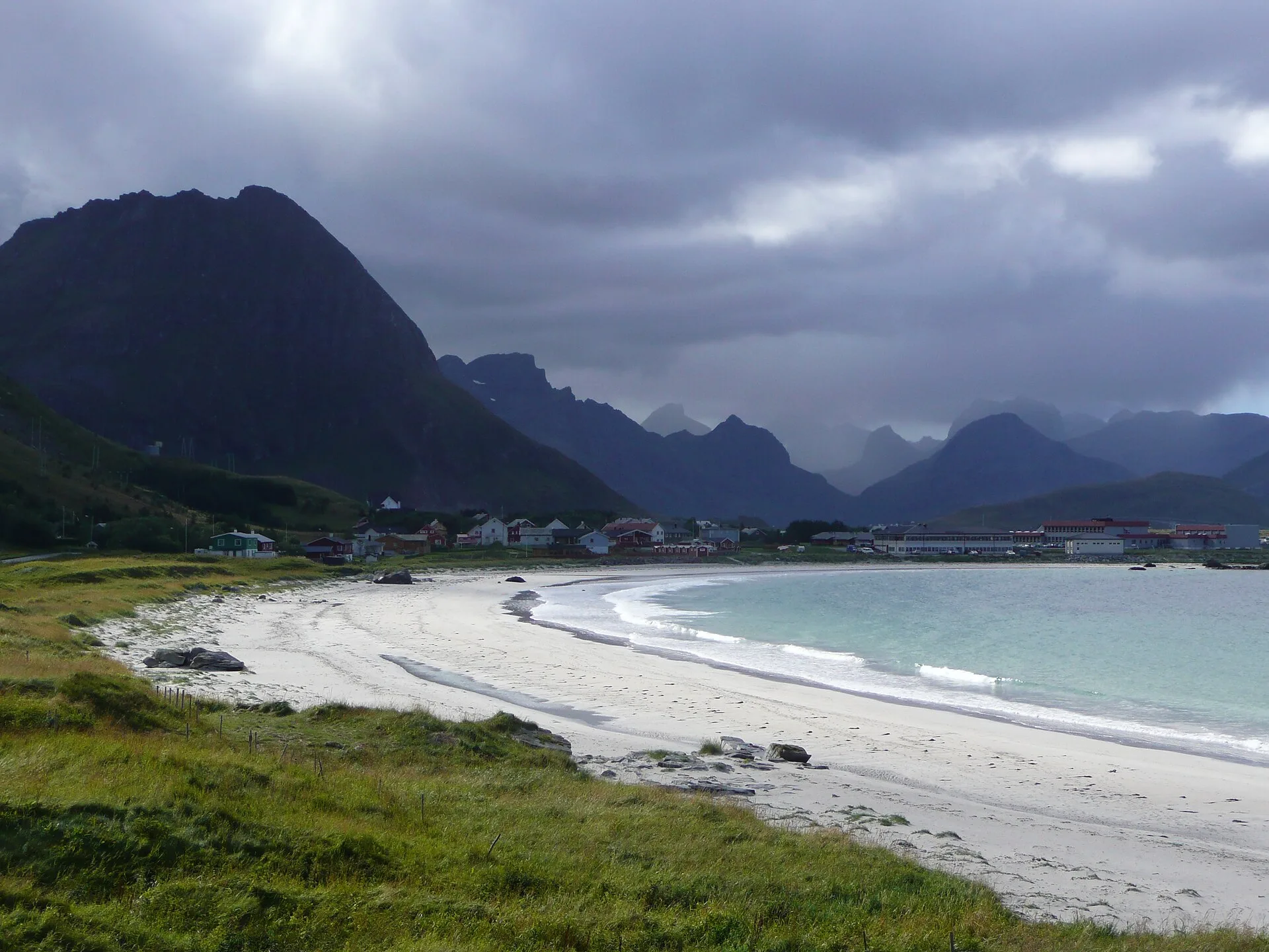
A good alternative keeps the day around Reine
If the hike is off, do not drive a long way out of frustration. Spend a relaxed day around Reine, Hamnøy and Sakrisøy, visit an open museum or gallery, eat locally and enjoy views from safe public areas. Check opening hours before promising your companions a particular attraction.
A guided activity may be an alternative, but weather can affect it too. Check the meeting point, cancellation terms and the operator’s decision. Strong wind may also cancel sea trips, so keep both an outdoor and an indoor backup.
Schedule Reinebringen early in a longer stay only if you can genuinely move it to a better day later. Do not set out in poor conditions just because it is your last morning. The view will still be there on another visit.