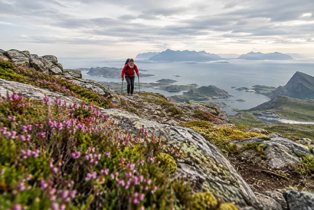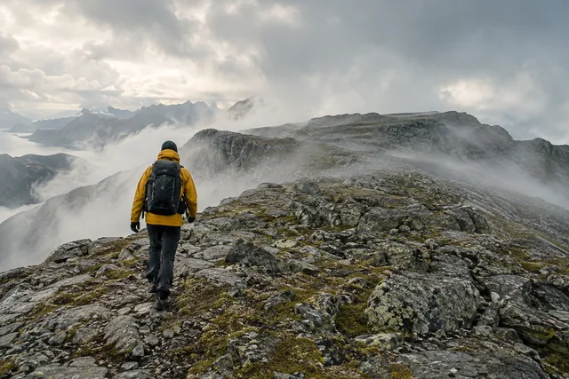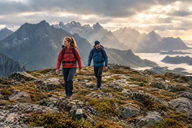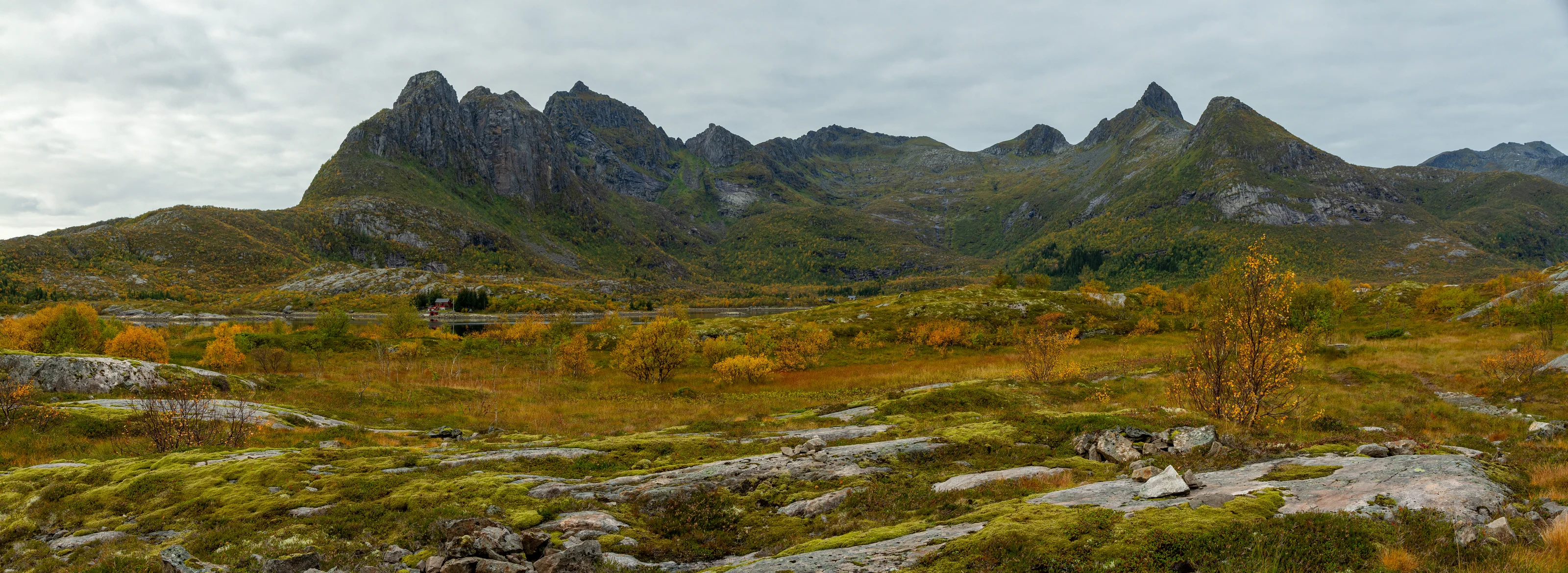
You can choose the stairs, Djevelporten or Fløya
The route has several natural decision points. The lower trail and steps provide height and views without requiring you to enter the most exposed terrain. Djevelporten is a rock formation along the route; Fløya is the summit. None of these needs to be a compulsory box to tick.
Anyone with a fear of heights, uncertain balance or little steep-terrain experience should consider turning back earlier. The same applies when abilities vary within a group. The best hike is one everyone can descend safely; the summit and photographs come second.
Read Visit Lofoten's description before starting and compare with the map. A short horizontal distance hides almost the entire height difference. The city's proximity offers no protection from wind, fog or slippery rock.
Find a documented start and keep the residential roads open
The established route can be reached from Svolvær and the starting area at Blåtindveien. Use up-to-date trail maps and local signage, not a random track that looks faster. The area borders homes and narrow roads. Park legally in the designated space and calculate extra walking if the nearest capacity is full.
Do not block driveways, turning areas or emergency access. If walking from the centre, plan a safe pedestrian route and make yourself visible in darkness. Leaving the car behind makes sense when staying in Svolvær, but plan the walk back and the available daylight too.
Take the lower section steadily, stay on the established trail and avoid new shortcuts. Erosion on a busy path close to town increases quickly when many people take the same detour.
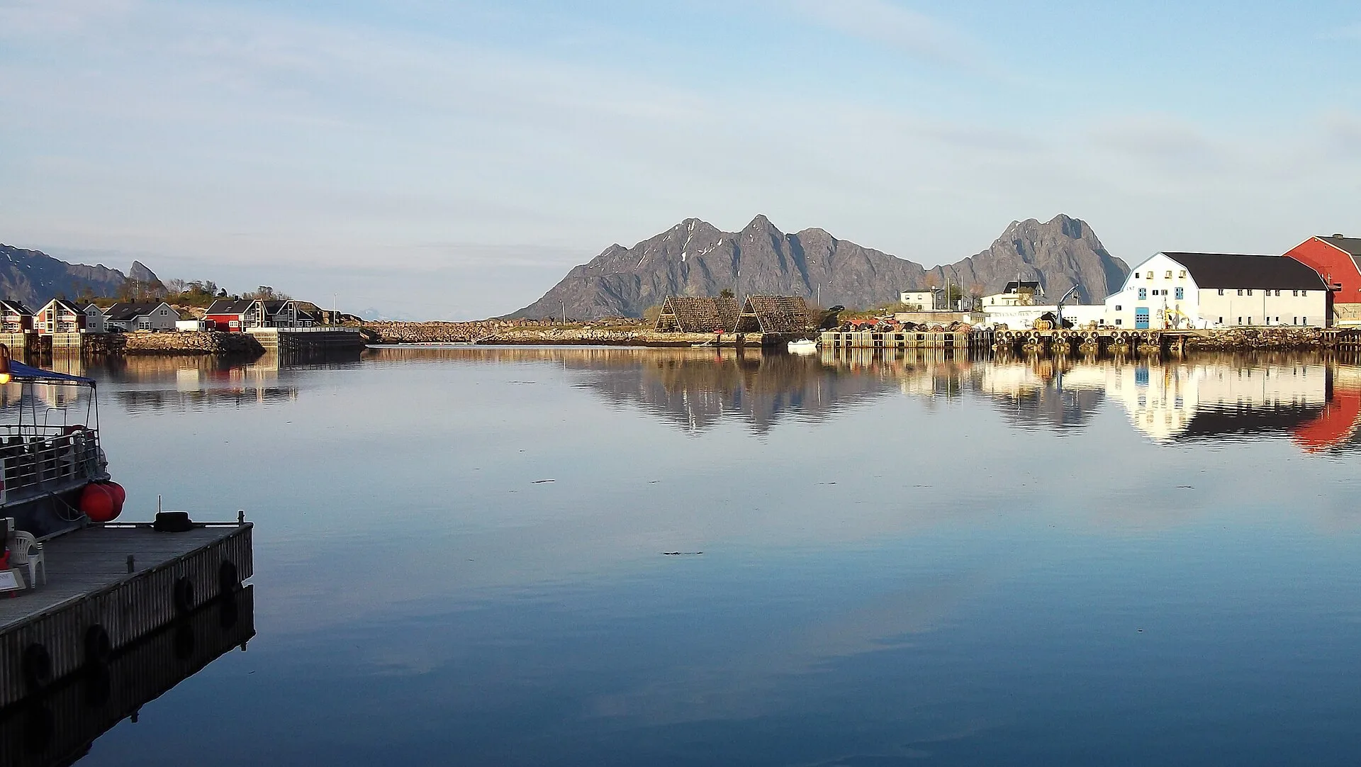
You do not need to step onto Djevelporten
Photographs can make standing on the boulder look routine. It is optional, and the consequences of a misstep must be judged without wide-angle distortion or peer pressure. Never step onto it when wet or icy, in strong wind, amid crowds or when you feel uneasy. Keep your distance while others take photographs.
The terrain becomes more exposed towards Fløya. Stay on the established route rather than stepping off to overtake or find a private photo angle. When passing someone, the person in the more secure position should make room safely; wait instead of trying to squeeze two people through a narrow section.
Supervise children and dogs closely. A lead can pull you off balance, and animals should not be forced through terrain they cannot manage. Turning back at an earlier viewpoint is better than forcing anyone onward.
Check wind and precipitation - and consider them again at altitude
MET’s hourly forecast for Svolvær is a starting point, not the whole answer. Wind may be stronger and gustier on the ridge, while cloud limits visibility and navigation. Rain makes rock, earth and steps slippery. With snow or ice, assess natural hazards, equipment and whether the summer route description applies at all.
Consult Varsom when winter conditions are relevant, and do not treat old tracks as proof of safety. The danger rating covers an area; you still need to assess the terrain you intend to cross. Without the skills to do that, choose a lower route.
Watch for changes as you walk: rising wind, cloud moving in quickly, cold or the first rain. Turn back while the descent is still manageable. Waiting until conditions are clearly unsafe is too late.
Build your schedule around a controlled descent
Visit Lofoten’s time estimate is only a guide. Queues for photographs, wet ground, breaks and different experience levels can make the hike much longer. Add the journey from your accommodation or parking and set a firm turn-back time that leaves daylight and energy for the steep descent.
Wear shoes with good grip, warm layers and wind and rain protection. Bring drinks, food, first aid, phone, offline map and headlamp when the margin is limited. Poles can help some on lower terrain, but must be able to be handled without hindering balance on steep sections.
Descend more slowly than your pride might prefer. Leave enough space so a fall or dislodged stone does not strike others, and rest at wide sections. Call for help in an emergency; do not build the plan around a rapid rescue.
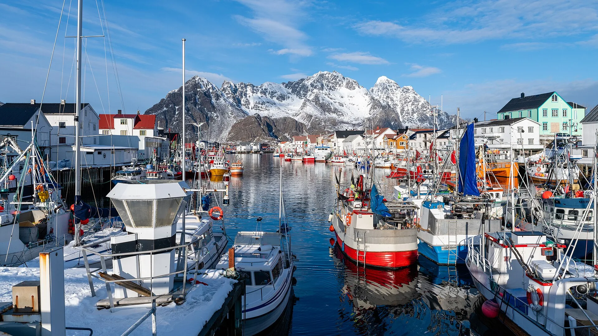
Svolvær offers a rewarding day even without Fløya
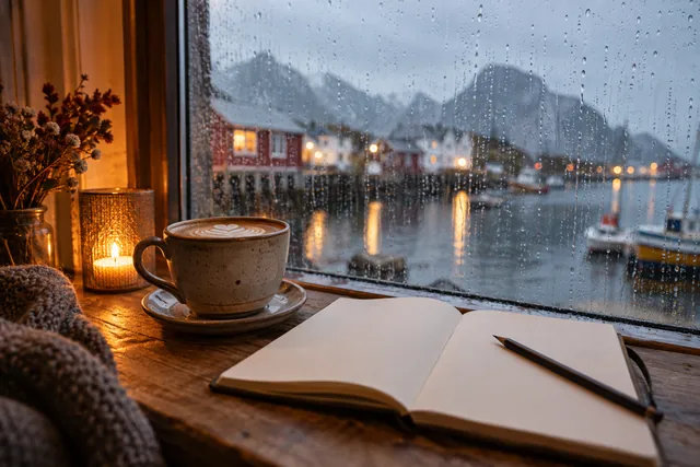
When the height is the wrong choice, you can use the harbour, the city centre, galleries, a museum or a guided activity that actually takes place under today's conditions. Check the opening, meeting place and the operator's weather decision directly. A sea trip can also be canceled due to wind, so keep an indoor option.
Assess any shorter low-level walk separately: the same rain can make coastal rocks slippery, and the same wind can be uncomfortable by the sea. Combine a safe spell outdoors with food and culture rather than searching for a summit that must somehow be accessible.
If you spend several nights in eastern Lofoten, choose the day with the best conditions and time margin for Fløya. Do not set off late in poor weather just because it is your final evening. Svolvær is a base, not a deadline.