Plan your subject, parking and retreat before the light
Choose two or three motifs close to the same base instead of driving between the whole of Lofoten for each weather window. Check sun direction, weather and road conditions, but keep time to find a legal place and walk the last part. A hazard warning light on a narrow road is not parking.
Use public viewpoints, paths and designated stopping places. Keep passing places, bus stops, driveways and working quays clear. Do not enter gardens, private piers or fish-drying areas without clear permission. A fishing village is a home and workplace, not an open studio.
Have alternatives for rain and wind: architecture, coastal heritage, food or details photographed from a public place can produce better images than a viewpoint lost in fog. Good light is an opportunity, not permission to ignore access rules.
Distinguish between landscape and a person's private situation
A camera does not make private homes, windows, children or people at work freely available subjects. Keep your distance, ask before close portraits and respect a refusal. Consider how you publish the image, especially if people are identifiable or a sensitive location could be revealed.
Share popular photo spots. Do not block paths, bridges or pavements with tripods or shine bright lights towards traffic and homes. Take your photograph, then make room for others. Never step backwards towards a drop or road while photographing without someone watching and a safe space.
Commercial production, larger rigs or control of area may require an agreement beyond what a normal visitor needs. Contact the landowner or responsible authority early rather than improvising on the spot.
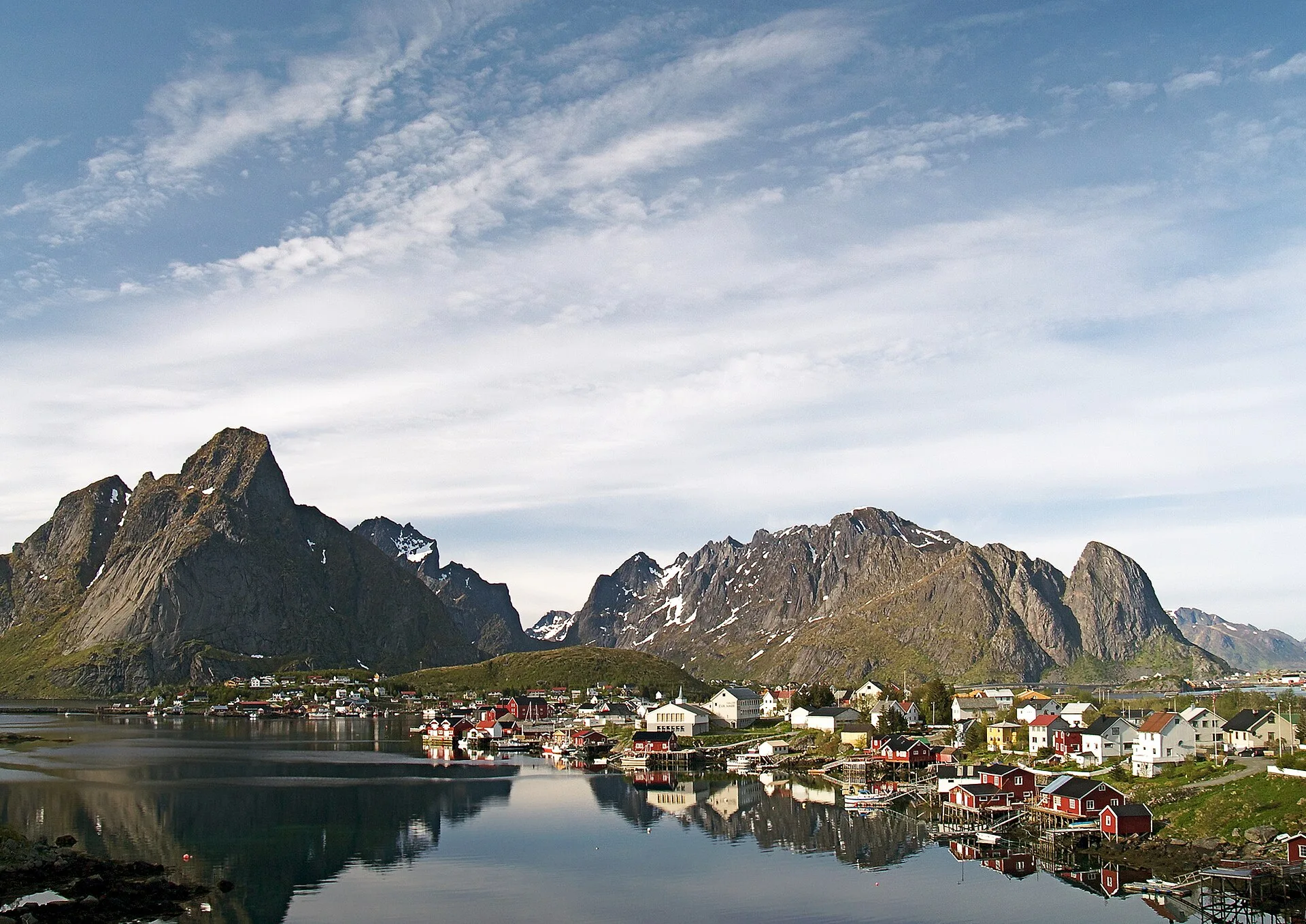
Do a full check before every flight - not just before the journey
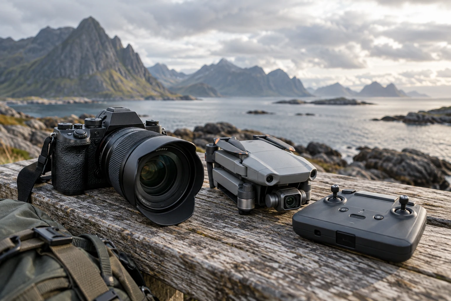
Start with the Norwegian Civil Aviation Authority. Identify the flight category and any requirements for operator registration, pilot competence, marking and insurance. Even a small camera drone can be subject to requirements. Foreign operators should also read the official guidance for flying in Norway.
Then check airspace and restricted zones for exact location and time. Lofoten has airports, helicopter traffic and other aviation. Near Avinor's airports, you use their operational solution and follow the terms; an app approval does not replace other rules.
Finally, you consider people, distance, visibility, height, wind, emergency landing and control of the drone. Do not fly when you cannot maintain visual contact or when tourists are moving into the safety zone. Repeat the check if you move.
Protected nature and wildlife can prohibit or restrict drones
The Norwegian Environment Agency emphasizes that protected areas can have their own rules, and that drone use is often prohibited or restricted in national parks and other protected areas. Both take-off, landing and the flight itself can be covered. Read the regulations for the specific area, not just a general map layer.
Outside protected areas, birds and animals must still not be disturbed. Cancel in case of changed behaviour, warning, flight or nesting. Don't use a drone to chase animals, get close to bird cliffs or create an "epic" track across a beach full of people.
Local signs, temporary restrictions and landowner's rules may be added. That others fly proves nothing. The responsible pilot must be able to document his own control.
Wind, cold and terrain make Lofoten technically demanding for drones
Coastal wind can be turbulent around mountains, buildings and ridges, and may strengthen quickly with altitude. Rain, sea spray and cold affect electronics and batteries. Follow the manufacturer's limits and stay further inside them when an emergency landing could harm people or nature.
Allow for a possible headwind on the return flight and land with ample battery reserve. Choose a take-off point where you can maintain control without blocking access. Identify an emergency landing area and use an observer when needed, without treating the observer as a way around visual-line-of-sight requirements.
Northern lights and darkness do not automatically make night flying legal or safe. Visibility, light, category and local requirements must be met. Often a tripod and ground level is the better tool.
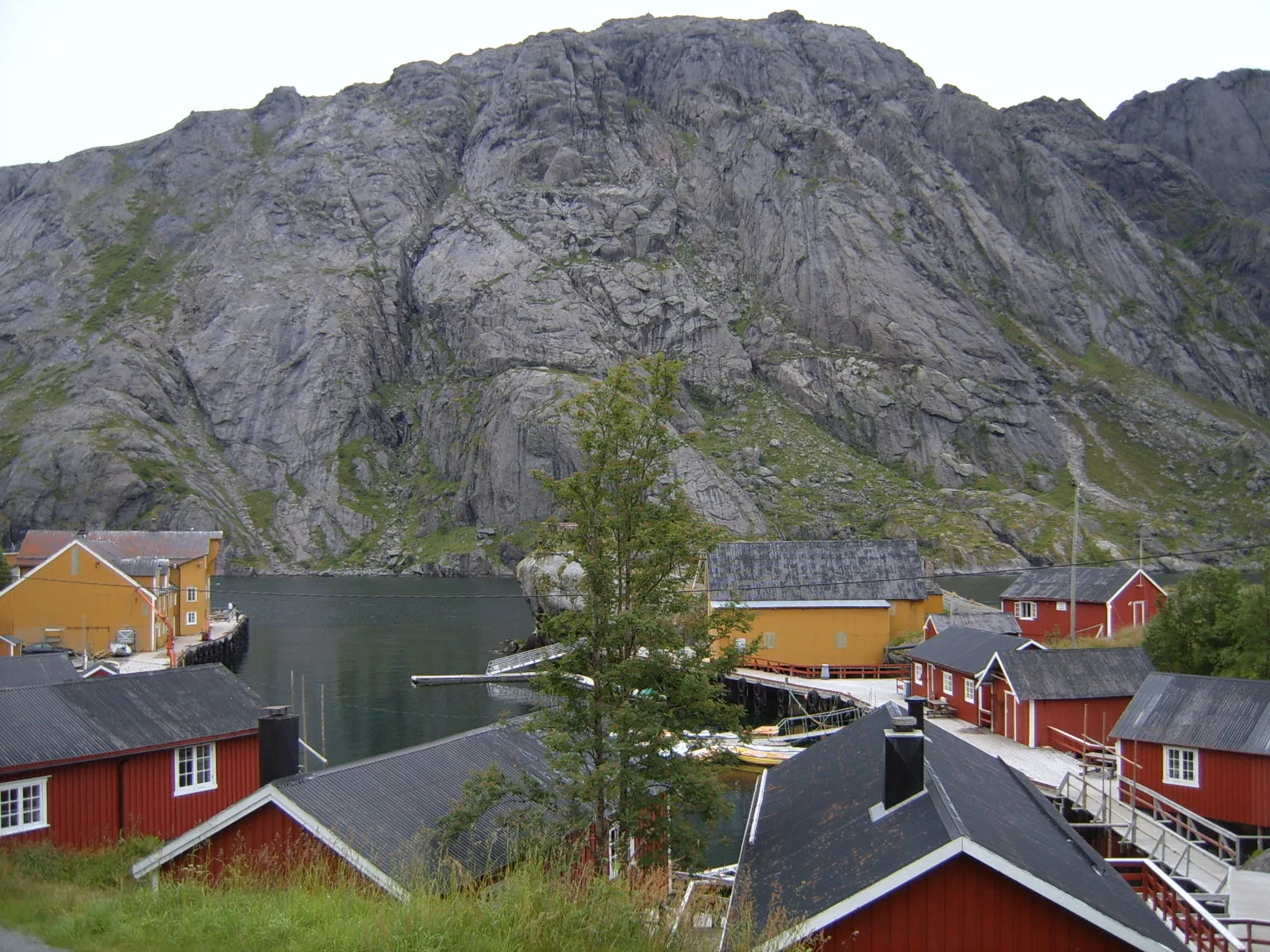
Publish with location considerations and without creating an illegal recipe
Do not geotag fragile habitats, nesting sites or illegal parking spots. Use a region or established visitor site instead when sharing an exact location could create new paths through sensitive terrain. Remove revealing metadata, and do not claim that no rules apply just because you saw no sign.
Be honest about image processing and composite when the presentation may otherwise give the wrong expectation of natural phenomenon, distance or accessibility. Artistic editing is legitimate, but should not be used as factual documentation for weather, aurora borealis or a trip.
Before commercial use, check rights to people, property, artwork and trademarks. This guide is practical travel information, not legal advice. Current rules in official sources and the responsible authority's assessment always apply.